




Canary Islands Sizzle as Heatwave Hits Hard
The Canary Islands are enduring one of the hottest days of the current heatwave, with soaring temperatures, calima dust, strong winds, and hazardous coastal conditions affecting the region. Authorities have issued multiple alerts, urging residents and visitors to take precautions.
The Government of the Canary Islands has activated a heatwave alert for Gran Canaria, where temperatures are expected to near 40°C this Tuesday. Other islands remain on pre-alert for heat, with heightened forest fire risks in five locations due to extremely dry conditions and humidity levels below 30%.
According to the State Meteorological Agency (Aemet), Gran Canaria faces an orange warning from 11:00 to 19:59 on Tuesday, marking it as the most severely impacted area. The highest temperatures will be found inland and along the south-eastern coast, with predictions ranging from 37°C to 40°C.
Nighttime temperatures will offer little relief, staying above 25°C to 27°C in affected areas, posing risks especially to vulnerable individuals.
Yellow Warnings for Other Islands
While Gran Canaria has the highest alert, Tenerife, La Palma, La Gomera, and El Hierro are under yellow warnings, indicating lower but still concerning risk levels. In Tenerife, forecasts suggest temperatures could reach 35°C, with La Gomera, El Hierro, and La Palma expecting maxima around 34°C in their internal regions.
Forest Fire Risk in Force
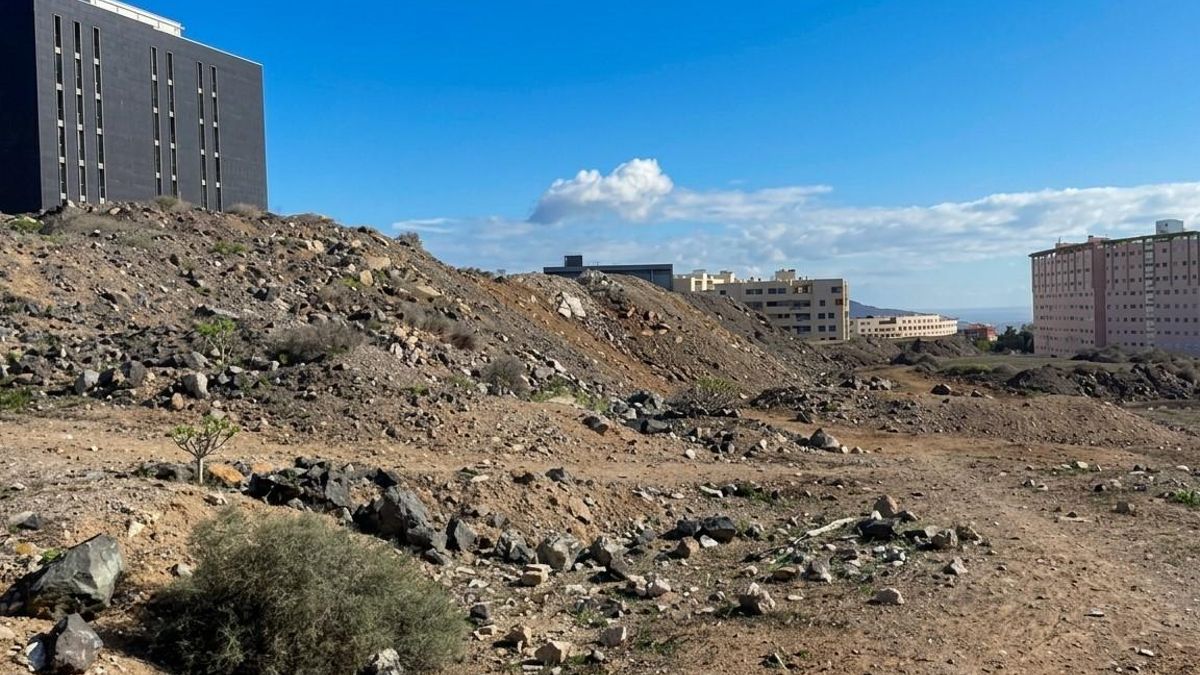
Due to the ongoing weather conditions, the Special Civil Protection and Emergency Response Plan for Forest Fires, known as INFOCA, has been activated. A fire risk alert applies to El Hierro, La Palma, La Gomera, Tenerife, and Gran Canaria, with restrictions and enhanced surveillance in the most vulnerable areas.
Conditions, particularly above 600 metres in northern zones and 400 metres in the south, are being monitored, as a temperature inversion is exacerbating the situation by trapping warm, dry air and keeping humidity levels low.
Calima Effects
The calima, or airborne dust, is expected to significantly impact mid- and high-altitude areas, reducing visibility and heightening discomfort, particularly for those with respiratory issues.
Wind and Sea Conditions
The north-easterly winds have prompted yellow warnings in Lanzarote, La Gomera, and Gran Canaria, with gusts predicted to reach 70 km/h, potentially hitting 90 km/h in exposed regions. These winds may complicate driving, especially for larger vehicles, and pose risks in forested areas.
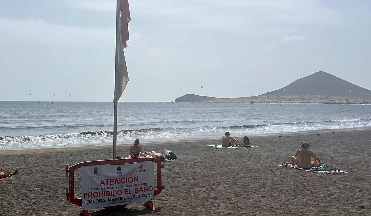
At sea, pre-alerts remain in place due to expected winds of up to 61 km/h and northern swells of one to two metres, making conditions dangerous for small boats and coastal activities.
Relief on the Horizon
Forecasts suggest that this intense heat will ease from Wednesday, 1 July, with a gradual decline in temperatures anticipated. Improved conditions for forest fire risks are also expected by Thursday, provided humidity rises and winds calm down.
Until then, residents and visitors are advised to avoid strenuous activities during peak heat hours, stay hydrated, seek shade, and monitor the well-being of elderly people and children. Caution is also necessary in potentially fire-prone areas.