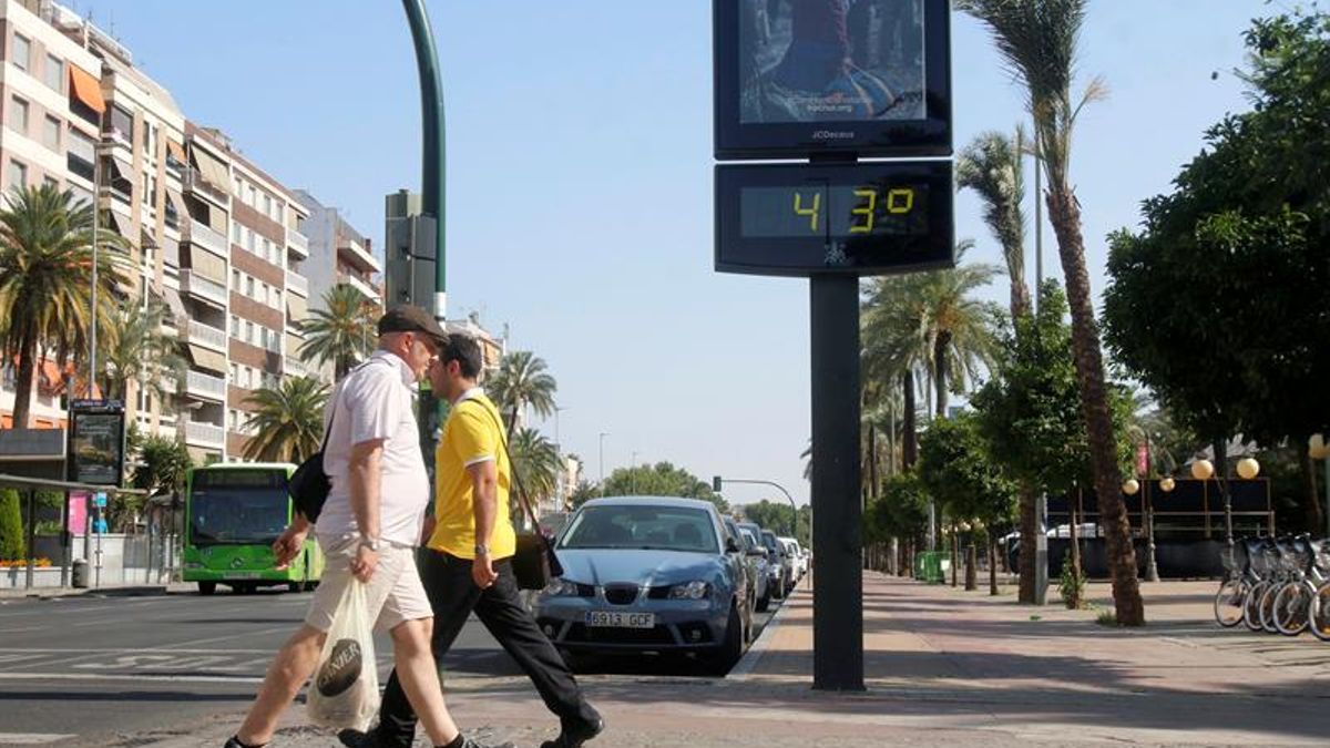





Weather Warning Continues in Gran Canaria Amid Temperature Drop
The Canary Islands will face another hot day on Thursday, 9 July, although temperatures will start to decrease following the recent heatwave. The State Meteorological Agency (Aemet) predicts a notable drop in inland areas, with more moderate changes along the coasts.
Despite this cooling trend, many regions will still experience temperatures around 30°C, especially away from the northern coastlines. Gran Canaria is set to see the highest temperatures, particularly in mid-altitude zones of the southeast, south, and west, where they could reach up to 34°C.
Areas like the Tirajana basin are under a yellow warning for high temperatures, making Gran Canaria the island most affected by the ongoing heat.
Aemet’s forecast highlights persistent high temperatures in mid-altitude areas facing southeast, south, and west, where the yellow warning applies. While temperatures in other islands will be milder than during the peak of the heatwave, inland and mid-altitude zones will still see readings approaching 30°C. Lanzarote and Fuerteventura may experience temperatures between 32°C and 34°C.
Skies across the Canary Islands are expected to be mostly clear, with some low cloud cover anticipated during morning and evening hours in the north of the more mountainous islands. Light haze may also occur at higher altitudes, but visibility should improve as the day goes on.
Warm nights are likely to persist in affected areas, with temperatures remaining above 25°C in south-facing inland regions of Gran Canaria. Although the overnight temperatures will be less severe than in recent days, the discomfort will continue in some inland locations.
Overall, Thursday marks a significant shift in the weather across the Canary Islands, with Gran Canaria remaining the focal point of heat, under a yellow warning, while temperatures start to drop elsewhere.