




Light Calima Expected in the Canary Islands This Week
The State Meteorological Agency (Aemet) has issued a forecast for the arrival of calima, a weather phenomenon associated with airborne dust, across the Canary Islands starting Wednesday, 15 July. The dust is anticipated to settle mainly in the upper atmosphere, leading to hazy skies, although significant visibility issues at sea level are not expected initially.
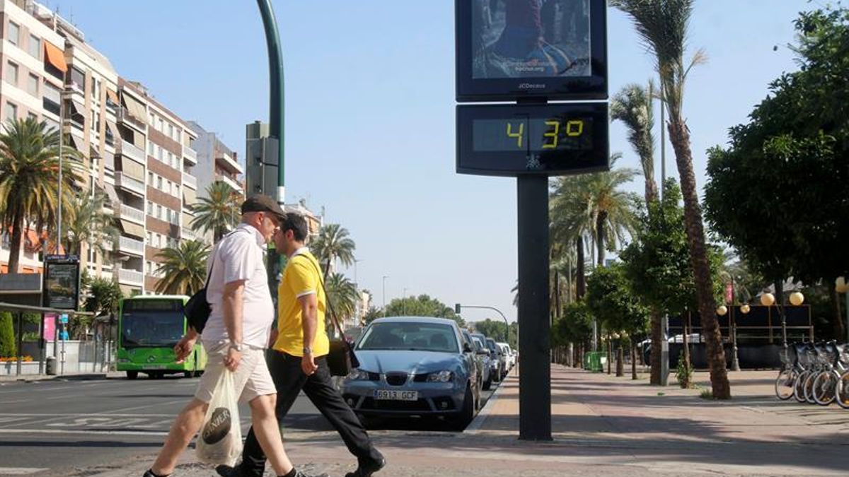
As the calima moves in, temperatures are likely to rise, particularly in mid-altitude areas of Gran Canaria, where local temperatures could reach 34°C. The southern, southeastern, and western slopes of the island are expected to be the most affected.
The forecast indicates that this dust episode could persist into Thursday and Friday, especially at higher elevations and on south- and east-facing slopes. Nonetheless, Aemet has not confirmed any severe calima conditions at ground level across the entire archipelago, with the concentration of dust depending on changing atmospheric conditions.
Following the calima’s arrival, stable weather with trade winds is forecasted over the weekend, with minimal rain expected. However, the situation may evolve based on air mass movements from North Africa.
Gran Canaria is predicted to experience the highest temperatures, but other islands may see moderate increases, particularly in coastal areas where trade winds are prevalent. Low-lying northern regions may encounter some cloudiness during morning and evening hours.
Currently, the forecast suggests only a light haze rather than heavy dust intrusion. Significant changes may occur due to fluctuations in wind direction and atmospheric conditions, so ongoing updates from Aemet will provide more clarity on the situation.
In summary, residents can anticipate hazier skies and warmer temperatures with a continued presence of airborne dust over the coming days, although the impact is expected to be relatively mild for now.