


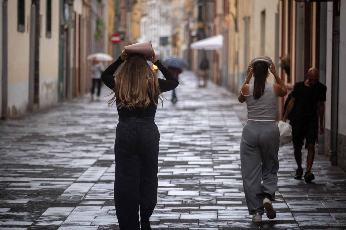
Weather Warning in the Canary Islands as Rain and Storms Loom
The Canary Islands are under yellow rain warnings today, 20 October, affecting La Palma and El Hierro, as a wave of humid air sweeps across the archipelago. The State Meteorological Agency (Aemet) is closely monitoring conditions, which could bring heavy and persistent showers along with thunderstorms.
The local government has issued an updated rain pre-alert, which has been in effect since midnight, signalling potential serious rainfall particularly in the western islands. Predictions suggest that while the most intense showers will likely hit La Palma and El Hierro, other areas may also see sporadic rain.
Meteorologists are also tracking a small isolated low-pressure system, locally known as a DANA, that could prolong the unstable weather and cause thunderstorms in the eastern islands in the coming days.
Significant Rain Expected on La Palma and El Hierro
Aemet forecasts heavy rainfall on La Palma and El Hierro today, with the potential for substantial accumulations. The Directorate-General for Emergencies has alerted that the rainfall intensity could increase after midday on El Hierro, leading to high accumulation rates in short periods.
In La Palma, the heaviest rain is expected on the southern and eastern slopes, with reference values suggesting accumulations of 15mm in just one hour and up to 60mm over 12 hours. This indicates the possibility of intense rainfall, especially in focused areas of precipitation. The government’s precautionary measures are part of the Specific Emergency Plan for Adverse Weather Conditions.
Weather Conditions in Tenerife and Gran Canaria
Though La Palma and El Hierro are predicted to face the worst of the weather, unsettled conditions will also reach Tenerife and Gran Canaria. Tenerife will see cloudy intervals, with showers possible later in the day, while temperatures are expected to range from 21°C to 26°C in Santa Cruz de Tenerife. Gran Canaria may similarly experience increased cloud cover, though rain will likely be lighter.
Eastern Islands and the DANA System
Lanzarote and Fuerteventura will start with more stable weather but will see an increase in cloudiness throughout the day. Unsettled conditions may spread to these eastern islands by Wednesday, with the potential for showers and thunderstorms as the low-pressure system develops.
Unstable Weather Forecasted for the Week Ahead
Meteorologist Edgar Cedrés has highlighted that the unstable weather could continue into later this week as the DANA system may dissipate over the Canary Islands but still trigger isolated heavy rainfall. The exact conditions, including possible thunderstorms in the eastern parts of the archipelago, will depend on how the system behaves.
Local authorities continue to monitor the situation closely, especially in La Palma and El Hierro, while advising residents to stay updated through Aemet and the Canary Islands Government as forecasts may evolve.


