


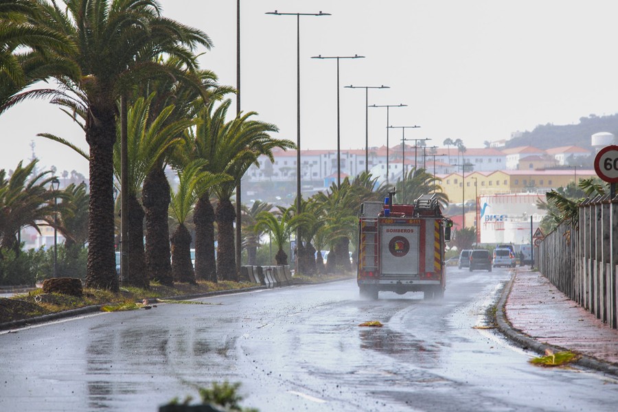
The Canary Islands government has issued a weather alert from Saturday due to the arrival of Storm Bruna, which is expected to bring heavy rain, strong winds, and coastal phenomena. Forecasts predict rainfall exceeding 100 litres per square metre within 12 hours, wind gusts over 90 kilometres per hour, and waves reaching up to four metres.
The Directorate General for Emergencies triggered a wind alert from noon Saturday for La Palma and the mountains, north, and northwest areas of El Hierro, La Gomera, Tenerife, and Gran Canaria. All other areas on these islands are under a pre-alert.
A coastal alert will take effect at 6 PM Saturday for the northern and western coasts of the archipelago, with a pre-alert in place for other coastal areas. The rainfall alert will begin at 9 PM on Saturday for El Hierro, La Palma, La Gomera, Tenerife, and Gran Canaria, while Fuerteventura, Lanzarote, and La Graciosa will remain on pre-alert.
Rain is expected to start on Saturday night in La Palma and spread eastwards throughout Sunday, affecting the entire archipelago. La Palma is forecast to experience the heaviest and most persistent rain, with accumulations potentially exceeding 30 litres per square metre in an hour and over 100 litres in 12 hours.
El Hierro, La Gomera, Tenerife, and Gran Canaria may also see significant rainfall, with intensities around 25 litres per square metre an hour expected, while the eastern islands could receive over 20 litres but with less persistence.
Wind gusts from the southwest could exceed 70 kilometres per hour on Saturday in parts of La Palma and the central mountains of Tenerife. The wind conditions are predicted to intensify on Sunday, potentially surpassing 90 kilometres per hour, particularly in mountainous regions.
The sea is expected to deteriorate starting Saturday, with southwest winds at force 7 and swells reaching between three and four metres by Monday. Coastal areas, especially on the western shores of La Palma and El Hierro, will be affected from Sunday afternoon, with impacts extending to other exposed coastlines.
Authorities also caution that this storm coincides with high tidal coefficients—84 on Sunday, 82 on Monday, and 77 on Tuesday—which could further worsen conditions in coastal areas.
These alerts will remain in effect until further notice from the Directorate General for Emergencies.


