


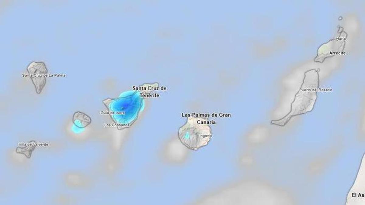
Tenerife is set for a cloudy Saturday on 14 November, with increased cloud cover expected in the afternoon and the possibility of light rain in some inland areas. The State Meteorological Agency (Aemet) warns of occasional scattered showers, although widespread rain is not anticipated.
Temperatures will remain stable, with a slight decrease at higher altitudes. In Santa Cruz de Tenerife, highs will range from 21 to 26 degrees.
The wind will be light from the northeast but will strengthen during the afternoon in the southeast and northwest parts of the island.
Across the Canary Islands, weather forecasts indicate cloudy intervals with a chance of light and sporadic rain. Temperatures are expected to remain largely unchanged.
In Lanzarote and Fuerteventura, the outlook includes cloudy intervals with a low chance of light rain in the early part of the day. Maximum temperatures will reach 24 degrees, with minimums around 20.
Gran Canaria will also see predominantly cloudy skies, with a low probability of light, occasional rain. Temperatures will show few changes, although minimums could dip slightly in the southwest. Las Palmas de Gran Canaria will see temperatures between 21 and 25 degrees.
La Gomera will experience similar cloudy intervals and a low chance of disperse showers. Temperatures will range from 21 to 25 degrees in San Sebastián de La Gomera.
In La Palma, conditions will trend cloudy in the afternoon, with light and sporadic rain possible. Temperatures are expected to stay stable, ranging from 19 to 23 degrees in Santa Cruz de La Palma.
Lastly, El Hierro is predicted to have cloudy intervals with a low chance of occasional light rain, and temperatures will range between 16 and 20 degrees in Valverde.
Winds will blow from the north or northeast at force 3 to 4, easing to around force 2 or 3 by midnight. Expect a slight swell and occasionally rough sea, with northwest waves measuring between one and two metres.
The maritime forecast also hints at downpours, particularly along the southern coasts of the islands.


