


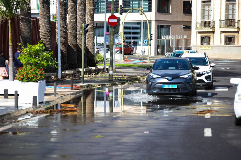
The Canary Islands Government has issued a wind alert across the archipelago, effective from 6 PM on Tuesday, 10 November. This decision follows advice from the State Meteorological Agency and other relevant sources, as part of the Specific Emergency Plan for Canarian Risks from Adverse Meteorological Phenomena (PEFMA).
Strong southwesterly winds are expected as Storm Charles approaches the region, leading to an increase in wind intensity on Tuesday and Wednesday. Winds are forecast to shift from moderate to strong by midday on Tuesday, particularly in mountainous areas and the northwest and southeast slopes, with gusts possibly reaching or exceeding 70 km/h.
By Tuesday afternoon, the winds will begin to impact La Palma significantly, with gusts anticipated to reach 90 km/h, peaking at around 110 km/h in the mountains. The situation is expected to worsen throughout the evening, spreading to the western islands, with wind speeds also hitting 90 km/h or more in Tenerife and 100 km/h in La Gomera and El Hierro. The strongest winds will be in the midlands, peaks, and exposed slopes, particularly in the northwest and southeast.
On Wednesday morning, the worsening conditions will extend to the eastern islands. In Gran Canaria, gusts may reach 90 km/h, with higher readings of up to 100 km/h expected in exposed areas. Winds on Lanzarote and Fuerteventura could also hit 90 km/h or more, particularly on northern and northwestern slopes.
In the metropolitan area of Tenerife, gusts exceeding 70 km/h are likely, mainly affecting high ground and midlands. It is also possible that winds could intensify further on Wednesday, with some areas of La Palma and Tenerife potentially experiencing gusts over 120 km/h.
The Directorate General for Emergencies will continuously monitor the weather conditions and may update the alert level if forecasted wind intensities increase.


